
Bradford Bog

by Amy Patenaude
Outdoor/Ski Writer
The rain let up, the sun came out and finally it felt like spring. We decided it would be nice to get out and go for a walk. I had just learned about the Bradford Bog and I was eager to go there.
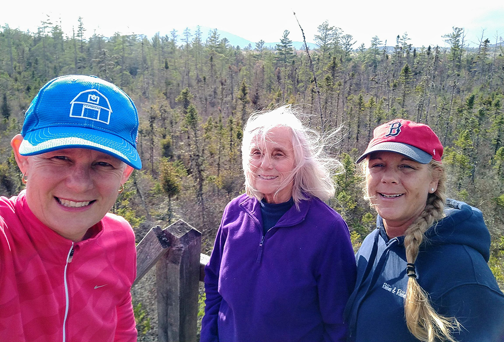
I talked my mother Katherine and our Bradford friend Patty to come along with me.
We picked up Patty at her home and we drove to the east side of town. It is a pretty drive over a covered bridge, past Battles Farm, through the old center of town from pavement to gravel roads. It was her first time to visit the Bog too.
There is a trail guide and map available online at Bradfordnh.org. or ask your Google machine to take you to the East Washington Road in Bradford, NH and the trailhead is on the east side of the road near the Washington townline. There is information posted on the kiosk at the trailhead but in the mailbox there were no guides. I was glad I had printed the guide and brought it along.
Parking is on the widened shoulder of the road and there is room for at least six cars. One car was parked here when we arrived and we met a young couple coming out of the forest. They told us that they had attempted the walk the previous week but had to turn around because the path was flooded. They assured us that water was not an issue today and it was a nice walk.


According to the trail guide back in 1961 the New England Wild Flower Society purchased this land as a sanctuary for the Atlantic White Cedar and the unique bog flora and gifted it to the town in 1971.
The boardwalk is 3/10ths of a mile through the swampy forest of cedar and black spruce trees before reaching the bog. Along the way are more interesting trees, plants and flowers including Larch (Tamarack) trees, Pitcher Plants and Trilliums. There are signs along the way identifying the plants. Since spring arrived late, little was in bloom. A few yellow Coltsfoot had popped open and the Rhodora’s purple flowers were still tight but should be open now.


At the edge of the bog is a wonderful viewing tower and we noticed that on the upper floor are carved the points of the compass. I had brought along an area map and realized that the bigger hill to the NW is Lovewell Mountain in Washington (the Sunapee-Monadnock Greenway Trail crosses Lovewell’s summit).
A sign on the tower read that it was the Eagle Scout Project of Samuel J. Rushia, BSA Troop 71 New London, NH, May 2012. We greatly appreciated his project for the bird’s eye view across the bog to the surrounding hilltops.
We walked more slowly back to the car and noticed more wonderful plants. We enjoyed the trail and spending time together. Soon we hope to go back again when more flowers are in bloom.
Have Fun.
Amy Patenaude is an avid skier/outdoor enthusiast from Henniker, N.H. Readers are welcome to send comments or suggestions to her at: amy@weirs.com.
Click below to read entire publication online now…


