The Link – Volunteering & Redlining
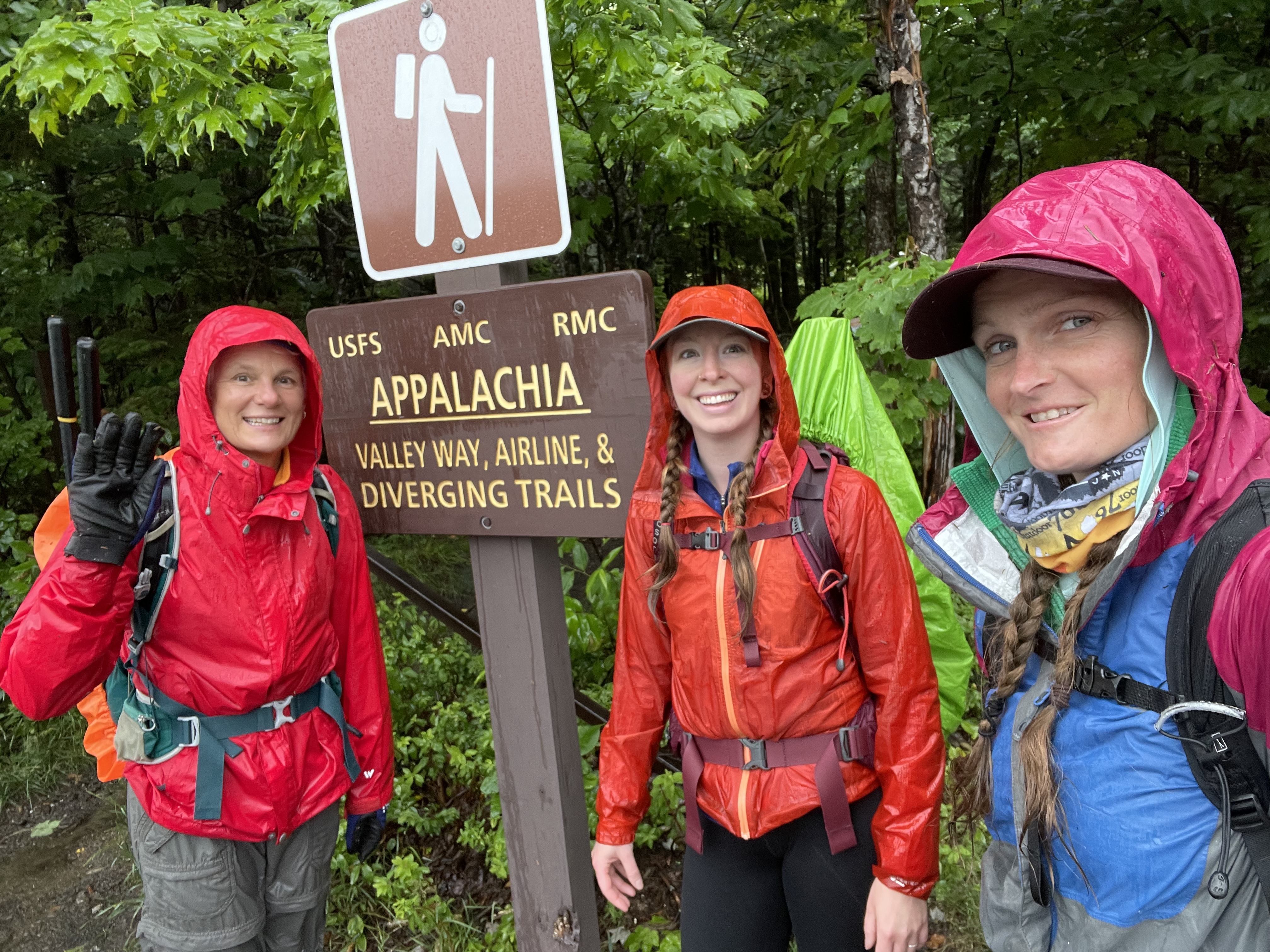
PHOTO: Look at our smiling faces after being on the trail for 8.5 hours! We brushed out The Link between the Castle Ravine Trail and worked our way towards the Lowes Path intersection. The Randolph Mountain Club maintains over a 100 miles of hiking trails on the northern slopes of Mt. Madison, Mt. Adams and Mt. Jefferson and on the Crescent Range in the town of Randolph. Want to volunteer? RandolpMountainClub.org!

by Amy Patenaude
Outdoor/Ski Writer
We dropped a car off at Appalachia in Randolph and we drove up to the high point of the Jefferson Notch Road. At an elevation of 3,009 feet it is the highest point reached by a public road in New Hampshire and it is the location of the Caps Ridge Trailhead.
What rain? It was foggy and damp but we were hoping the hard rain would hold off. But by the time we hiked a mile up the Caps Ridge Trail to the beginning of The Link it began to rain.
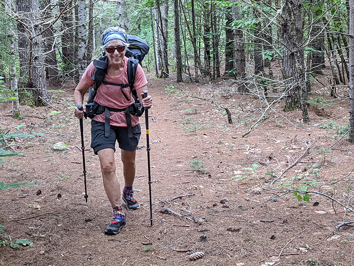
Oh well! Danielle, Bria and I had picked this date weeks ago to get together to volunteer with the Randolph Mountain Club to help with the project of brushing The Link. The Link is the Randolph Mountain Club’s longest trail at 7.6 miles. It stretches between Appalachia and the Caps Ridge Trail connecting many of the paths and trails that lead heavenward to Mount Adams and Mount Jefferson.
In our packs we had extra clothes, extra rain jackets and warm jackets just in case we needed them. At least it wasn’t a cold rain. It wasn’t the best day for the gals to redline The Link but we were just the same.
Redlining is the art of hiking every trail in the AMC White Mountain Guide. Many keep track of their progress by marking a map with a red Sharpie pen.

I had only hiked this trail once before and thought I’d probably never do it again. But getting to our assigned work section we could have taken a less difficult route but it was the same distance and they would have more steps towards completing their redlines.
We pushed through many brushy places and I felt like I was in a car wash. We got soaked quickly. We felt bad about hiking through the brush without taking our loppers out of our packs to remove it. Maybe we could come back later this summer.
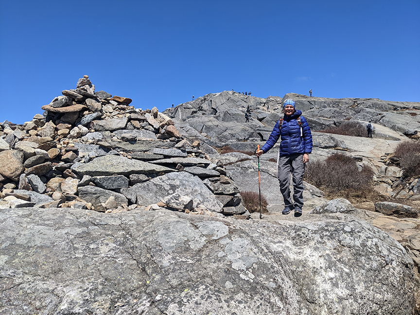
The 1.6 miles to reach the highpoint of the Link at the intersection of the Castle Trail is at elevation 4,025. We didn’t have any views; the entire day we were in the clouds. We crossed over the brooks and slides. This is a rugged trail and we hiked slowly and carefully. Down to the Ravine Trail it was steep and the lower portion needed brushing too.
We were relieved that the water wasn’t too high, we were able to cross Castle Brook by careful rock hopping. Once across we ate a big snack and hoped the addition of calories would make us warm and keep us happy.
Finally we arrived at the intersection of the Castle Ravine Trail and our assigned work section. We pulled out our loppers and put on our work gloves. We cut back the brush and limbs of trees that blocked the path. “Not in my house.” Bria would cheerily chant while she removed an obstacle. The three of us leaped frogged as we worked. It was slow going in places. Young spruce trees that shouldn’t be growing right in the trail, bye bye. Hobblebush, oh dear you’re just too trippy and must go. We tossed branches off the trail and into the forest. We made it happy work. What rain?
Yes it did seem like it took forever to reach Cascade Brook.

It takes a long time to brush out a mile of trail. If it were a warm sunny day its ledges would have been a nice place to rest and enjoy its cascading waters and big open view to Mt. Bowman. The crossing was a little tricky but our feet were soaked so stepping into a few inches of water didn’t matter anymore.
We continued lopping down The Link after crossing over the Israel Ridge Trail. Since it was raining we didn’t take many photos or look at the time. I knew it was getting late because I was beginning to notice I felt wet and cold. I dug out my phone and saw that it was 3 o’clock!
I announced the time. Danielle answered back, “15 more minutes.” We kept working. We didn’t finish that section but we got a lot cleaned up. We put our tools back in our packs and marched out the remaining 3 miles of The Link 3 back to Appalachia.
We were outside for 8.5 hours and believe me we couldn’t have put on dry clothes any faster! It was a longer day than we had planned but I guess we were too busy having fun and getting our work done.
Bria picked up a pizza in Jefferson at the Country Store while Danielle and I retrieved her car at Caps Ridge Trailhead. We had a pizza party in front of the roaring fireplace at my home in Franconia. Yes, Charlie built us a fire in July.
We plan on doing more trail work later this month and hopefully the weather will be better.
Have Fun.
Amy Patenaude is an avid skier/outdoor enthusiast from Henniker, N.H. Readers are welcome to send comments or suggestions to her at: amy@weirs.com.