Waterville Valley Walk in the Rain -Livermore Trail & More
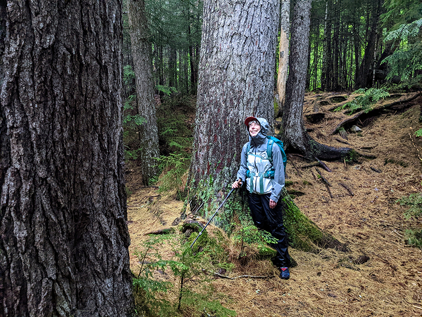
PHOTO: Julie admires the Waterville Valley’s Big Pines. To find these enormous White Pines hike 7/10ths of a mile up the Livermore Road to the Big Pines Path and hike just 2/10th more. The Big Pines are near the bank of the Mad River.

by Amy Patenaude
Outdoor/Ski Writer
We planned to go hiking, maybe something big like the entire Franconia Ridge or something.
But the forecast on Wednesday night didn’t look good for the next day. Julie called and asked me if we should cancel. We decided to still do something but we’d figure it out in the morning.
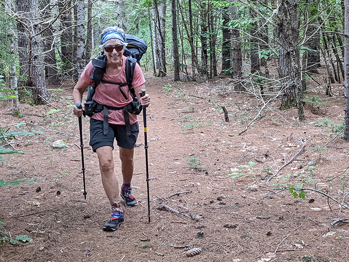
Julie is going on a backpacking trip with her daughter next month and she really wanted to get out even if it was raining. I suggested a route in Waterville Valley. We met in Campton and we drove through hard pouring rain to the Livermore Road Trailhead.
“If you’re going to make it to Maine, you have to hike in the rain” is a saying Appalachian Trail hikers often repeat. Neither of us are headed to Maine anytime soon but it still applies if you are going to get somewhere; you deal with the weather that happens. This was a good opportunity to test our gear in the rain.

It was no surprise the parking lot was empty but the Waterville Valley police car swung through the lot as we were starting up the Livermore Trail.
We both wore rain jackets and rain pants and our backpacks had rain covers. I used an umbrella. Julie was amused by my umbrella but it wasn’t long before she was impressed by its performance.
The Livermore Road/Trail isn’t open for car traffic. Hikers and bicyclists use it to access many of the Waterville Valley hiking paths and it is part of a popular hiking loop over Mount Tripyramid.
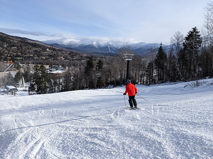
In the winter the Waterville Valley Resort’s Nordic Center grooms for cross country skiing up the road until it intersects the trail to Snows Mountain.
It was raining silly hard.
At three quarters of a mile we decided to take the Big Pines Path. The spur path is just 2/10th of a mile to reach the enormous White Pine trees near the bank of the Mad River. The narrow path wasn’t easy to do with my umbrella.
We both were still dry so we continued up Livermore Trail. We passed by more trailheads and the water was loud in Slide Brook. When we reached the 2.6 mile point we passed by the south end of the Tripyramid Trail and Julie told me her feet were wet. I confessed that the arms of my raincoat had wetted-out and I was glad I had my umbrella to keep the rest of me dry.
We kept going.
At 4.6 miles, near the top of the Livermore Pass, we took a short break before heading down the Old Skidder Trail. Then something wonderful happened. It stopped raining. Both our feet were wet but we didn’t care. I joyfully put the umbrella inside my pack–yes, my arms were tired of holding it.

The Old Skidder Trail links with Irene’s Path and the spur to the Waterville Flume. Irene’s Path was built to replace the Flume Brook Trail after Tropical Storm Irene washed it away. We took the spur path to the Waterville Flume and hiked carefully up the wet jumble of rocks to the best viewing of the cascading water through the narrow ledgy gorge.

We enjoyed hiking Irene’s Path. The clouds were low so we didn’t get to enjoy any big views.
The trail is w e l built and has nice stone staircases. But by the time we reached The Scaur the clouds had lifted a little and we were able to see much of the Waterville Valley Ski slopes and the green leaves on the trees in the valley.
We continued down the Kettles Path to get back to Livermore Road. The Path follows along the edge of several big potholes that were formed when the glacier melted. I always think it would be cool to cut the trees out of one of them so one could see the whole bowl.

At the Boulder Path we walked down to Avalanche Brook to see the Giant Boulder that sits in the middle of the brook and we were glad we didn’t have to try to cross its roaring waters.
Our trail shoes went squish-squish but otherwise we were dried out for the last half mile back to the car. My tracker reported we had hiked 9 miles and we had hiked 5 of those miles in hard rain. Julie was happy to see a lot of new-to-her places and test out her gear.
It was a good hike!
Have Fun.
Amy Patenaude is an avid skier/outdoor enthusiast from Henniker, N.H. Readers are welcome to send comments or suggestions to her at: amy@weirs.com.