Whitten Woods – Trails to South and North Peak
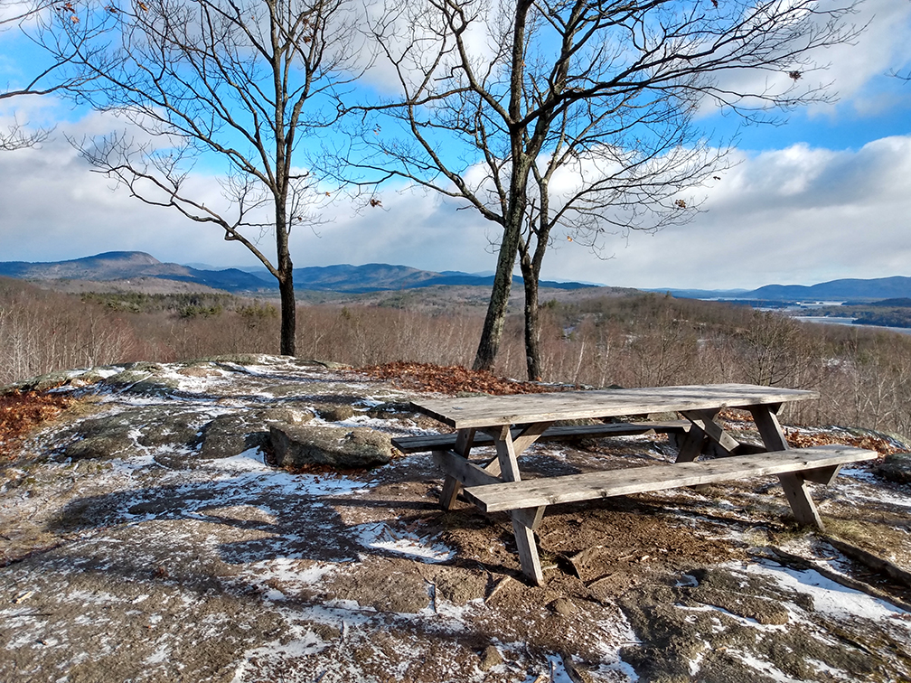
PHOTO: Wow Whitten Woods! The mountain view from the South Peak summit is grand–Squam Lake and the surrounding mountains as far as your eye can see. The hike to South Peak’s summit is just under a mile from the trailhead on Highland Street in Ashland.

by Amy Patenaude
Outdoor/Ski Writer
Friends in Ashland had recommended visiting Whitten Woods and since we were in the area with limited time to hike I suggested to Charlie that we should go. My New Year’s Resolution is the one that I keep repeating year after year–to visit new places.
Whitten Woods in Ashland is 500+ acres of conservation property cooperatively managed by the Squam Lake Association, Squam Lakes Conservation Society and the New England Forestry Foundation. The community forest has a trail network of just over 2 miles of well graded trails suitable for all abilities for hiking, snowshoeing and cross-country skiing.
On the left, just a mile up Highland Street from the center of Ashland there is a small parking lot for the Whitten Woods trails. A large banner is strung across the entrance to the trails next to the information kiosk that reads “Welcome Hikers” and “No Wheeled vehicles Allowed”.
That morning there were already six or seven cars in the lot and we parked in one of the last empty spots. I recognized the four hikers about to head up the trail and I rolled down the window and shouted them a greeting that was happily returned.
I downloaded the trail map from the SquamLakes.org website. The map is also posted on the information kiosk and at every trail junction. I soon learned.


A short history of the Whitten Woods is posted alongside the trail map at the kiosk. It begins by telling us that Reuben Whitten is a local Ashland legend and recounts how he saved the lives of many of his neighbors in 1816 during the “year without a summer.” His south facing land yielded crops and he shared his bounty with others that would have otherwise starved. This history reminded us of how difficult life was for early settlers.
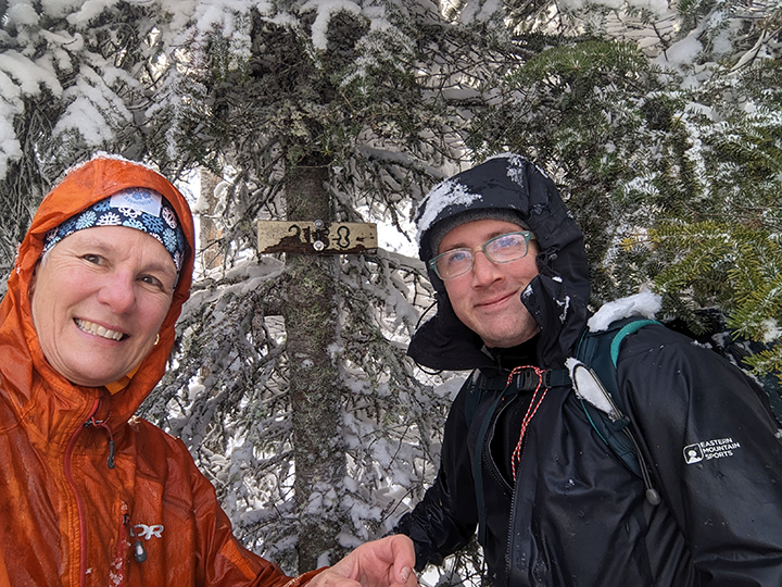
Light traction is a good idea to reduce the risk of slipping and falling. Charlie and I put our spikes on our boots. There wasn’t much snow on the ground but there was enough that was packed down by the boots of many previous hikers so much of it had turned to ice. We could see by the tracks that it looked like everyone had some type of traction strapped to their feet.
We followed the Main Junction Trail, it is marked by red blazes and it is 6/10ths to reach the trail junction with the South and North Peak Trails. The trail is wide and climbs at an easy grade uphill. Along the way we passed the hikers that started out just before us. We chatted with Beth, Steve, Joanne and Bill and learned they were headed to replace a missing geocache.


At the intersection we turned left and followed the green blazes for 3/10th of a mile to the summit of South Peak. This short spur is steeper but it leads to the most wonderful Whitten Woods lake and mountain vista in its forest. There is a picnic table on top too. The mountains that can be seen stretch from nearby Mount Prospect to Mount Chocorua and more across Squam Lake. A visit to this peak alone would be just 1.8 miles total for the roundtrip–a big reward for the modest effort.
We returned to the junction and we decided to do the loop over the North Peak counter-clockwise so we would hike up the steepest section of the trail. Before reaching the wooded summit there are several outlooks along the way. We took a snack break and two hikers with two dogs came up from the opposite direction and they hiked right by us.
We didn’t meet anyone else along the North Peak Trail. The woods were quiet and once we were off the summit peak the trail once again was wide and had easy grades. This would be a nice place to cross-country ski too.
We retraced our way down the Junction trail. Just before reaching the parking lot we once again caught up with our geocaching friends. They told us their mission was successful and that they were heading to the Page Pond Conservation Area in Meredith for some more geocaching.
New Hampshire has many conservation properties and trails. I am looking forward to discovering more of them this year.
Have Fun.
Amy Patenaude is an avid skier/outdoor enthusiast from Henniker, N.H. Readers are welcome to send comments or suggestions to her at: amy@weirs.com.